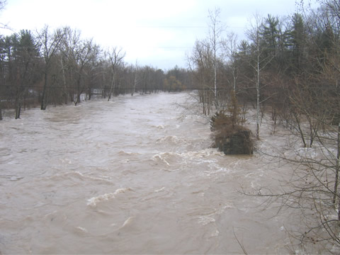
Tongore Road bridge looking West toward the Resevoir. |
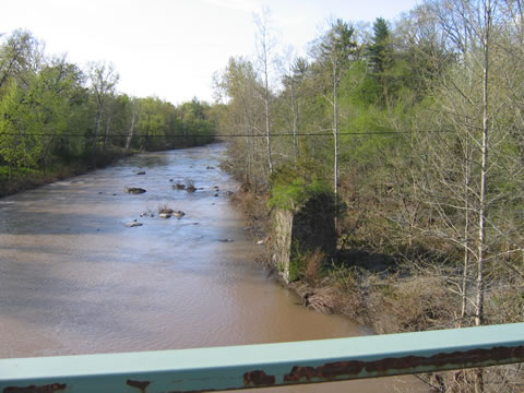
The same view after the water receded! The old stone abutment must be 15 feet high! |
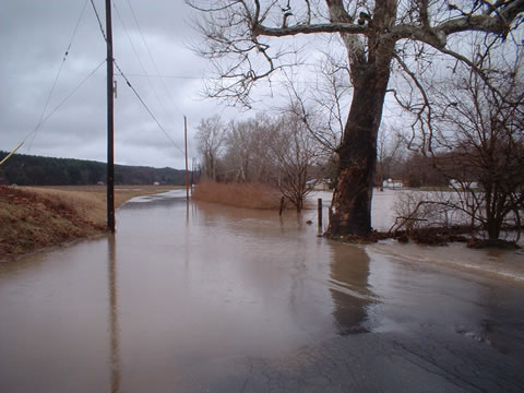
Tongore Road and the Town park are inpassable! |
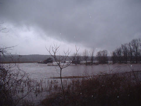
The Esopus as it flows through Hurley. |
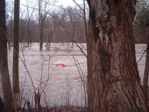
Only the rear fender of this car is still out of the water! |
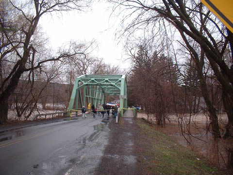
You can't get There from Here! |
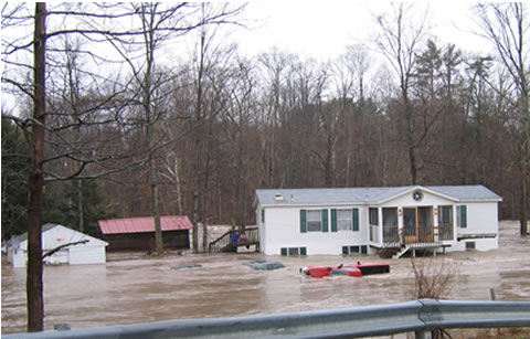
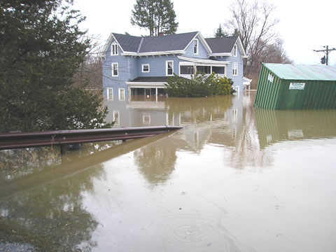
This house was built with an above ground foundation in case the creek ever overflowed it's banks. |
After the water receeded. |
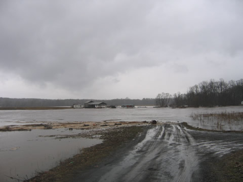
This was just a corn field the day before! |
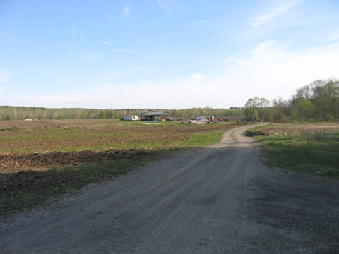
The same field after the water receded. |
This should be a corn field - Not a lake! |
The debris line on the bank indicates the water was at least 6 feet deep over the blacktop! |
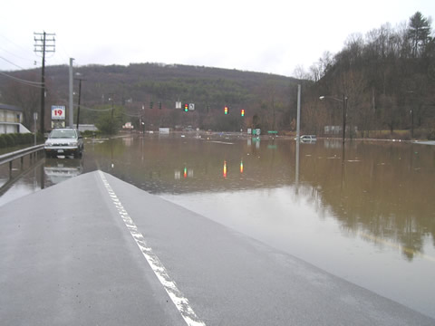
All four lanes of Rt 28 were closed for over 24 hours as the water flooded near the traffic light at the foot of Skytop hill. Note the white Jeep who thought he could still get down from Skytop. |
The water almost reached the ceilings of the first floor of this house! |
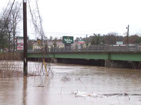
The Esopus as it goes under the Washington Avenue bridge. The Holiday Inn was flooded out as well as all the homes on Sandy road. |
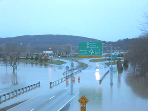
The Kingston traffic Circle. Thruway Exit 19 was actually closed for a while as all roads off the Circle were flooded so there was no place to go. |